Precision earthwork volumes from the air: faster surveys, tighter quantities, and fewer surprises on grading and site development projects.
Accurate cut and fill volumes calculated from high resolution drone data.
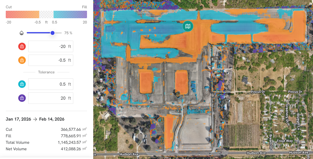
Compare existing ground to design surfaces and prior flights.
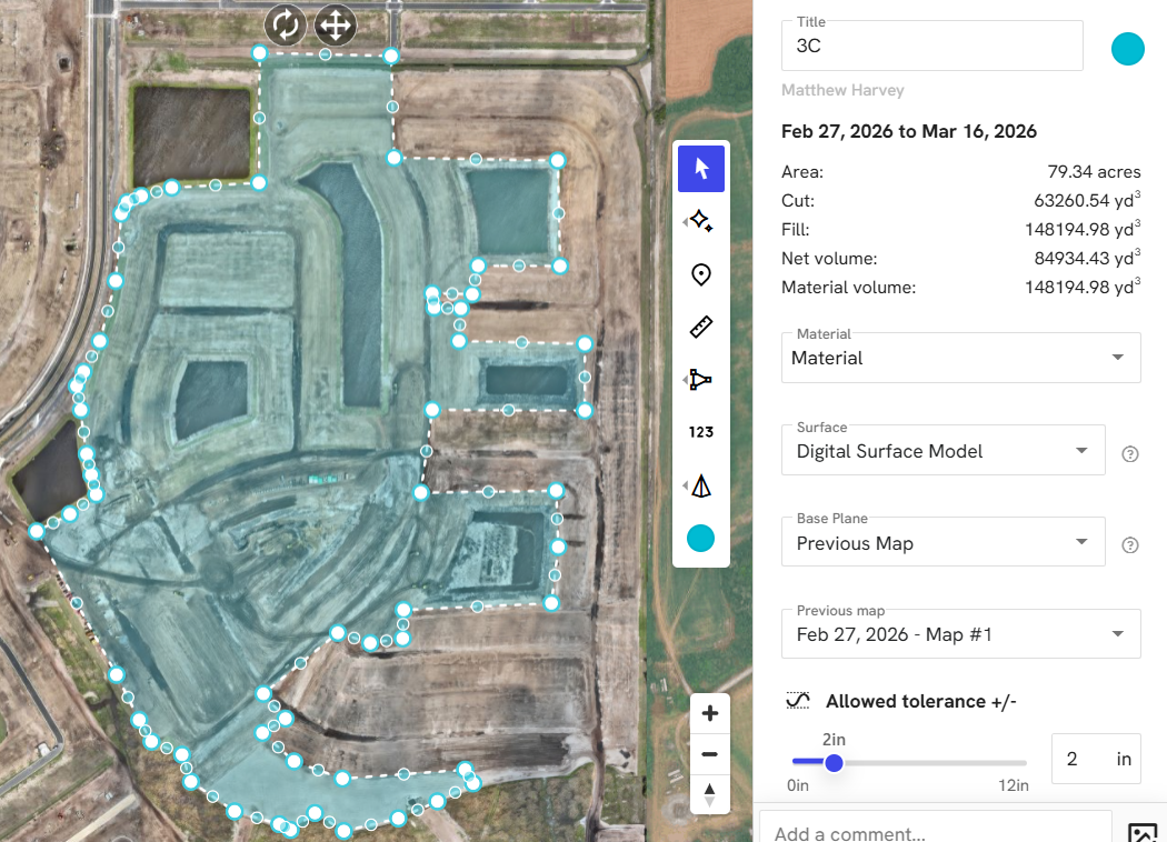
Catch over excavation, import/export imbalances, maintaining timelines and adding checks and balances.