Edge Agriculture
Creating actionable data on crop health, crop numbers, and more. Take your agricultural management efficiency to the next level.
Efficient & Accurate Imagery
Capture high-resolution images of your crops and fields with efficiency and accuracy.
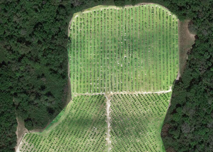
An orthomosaic map can enable the detailed viewing of an overall property.
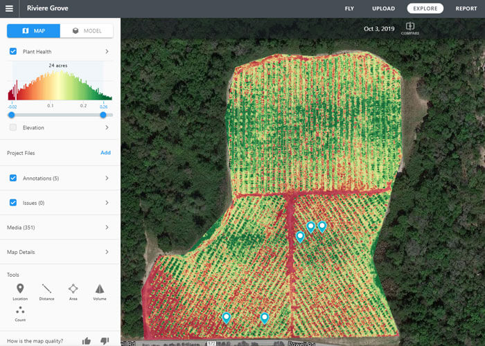
Othomosaic mapping provides the ability to track crop health.
In-Depth Analysis
Process and create actionable data with our cutting edge services, such as tree counting, vegetation health tracking, and more.
Actionable Results
Receive feedback and actionable data to ensure the health and longevity of your fields.
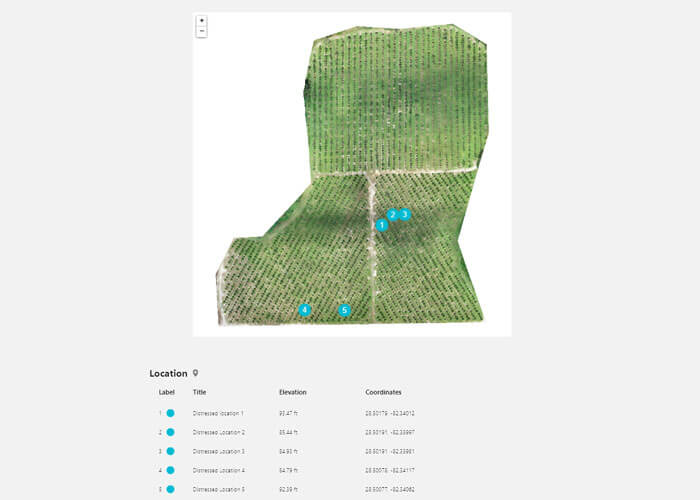
View exact location points to assist in ground truthing.
Let's Get Started
Let Edge Drone Services help you make critical decisions easier and faster.